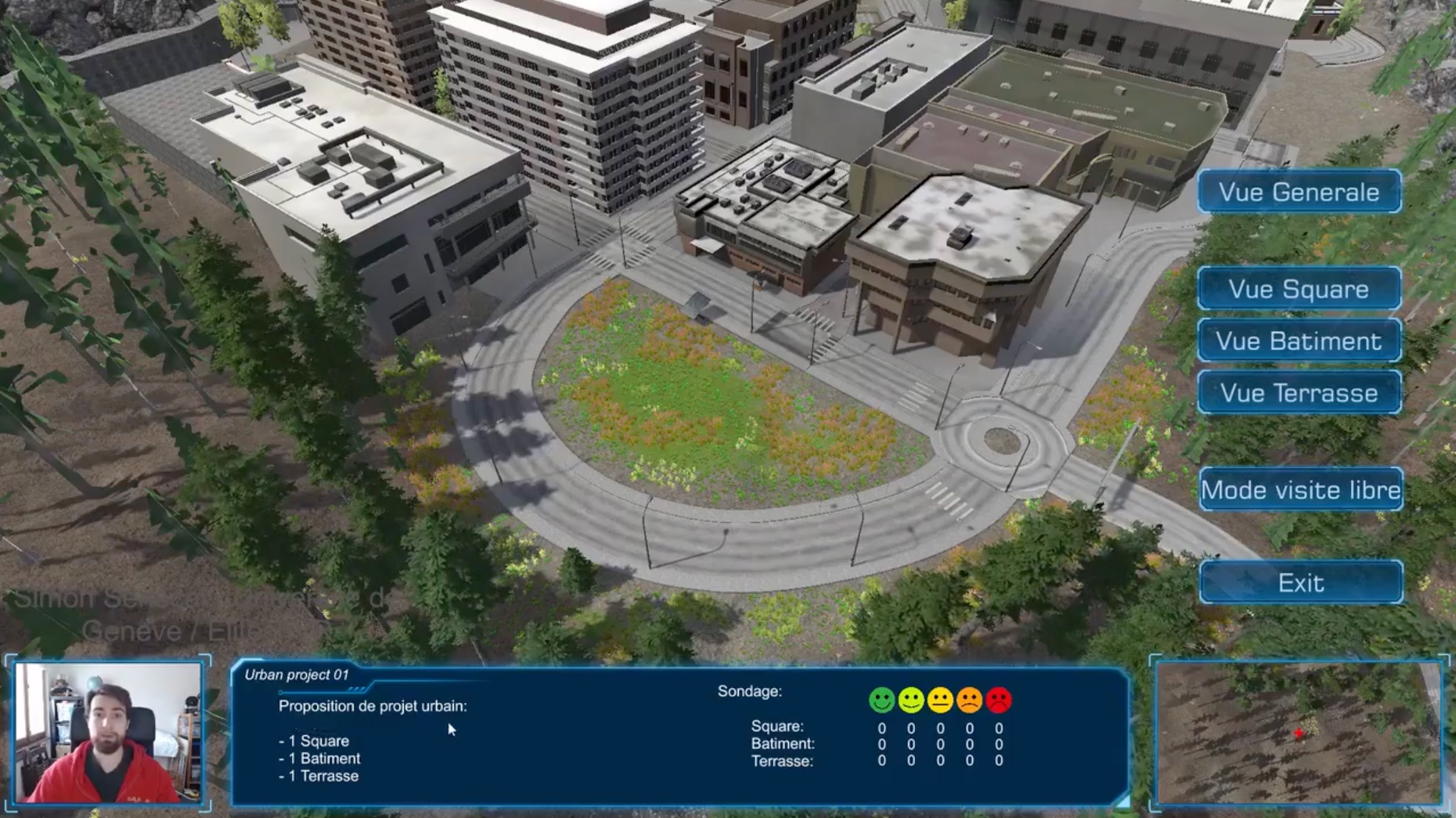
This project came from a proposal I made to an city’s urban planning department. The context here is to enable the people to visualize online the proposed planned modification of their neighborhood and give their opinion at the same time on the different elements. The added value is the ability to show pedagogically the proposal and impact on the area, while gathering data from the inhabitants in an efficient survey. To achieve this, my idea was to create an online 3D app connected to a database, with a backend that allows visualization for subsequent use.
After a short introductory video, the user sees a 3D top-view of a urban environment. The GUI allows to navigate between different screens, showing new buildings or urban changes with a different color to emphasize the proposition. The user can then vote or give his opinion. In a backend screen, the owner of the survey can then get the results.
Tools
Unity 3D – Urban assets – “Spatial” GUI – WebGL compiling
Methodology
Interactive camera motion
Mini-map camera trick
Interactive GUI connected to a database
Outcome
An online application that runs on the web.
You can test it here 🙂
